Made with Grok Imagine · CC0 · 13 Aug 2026
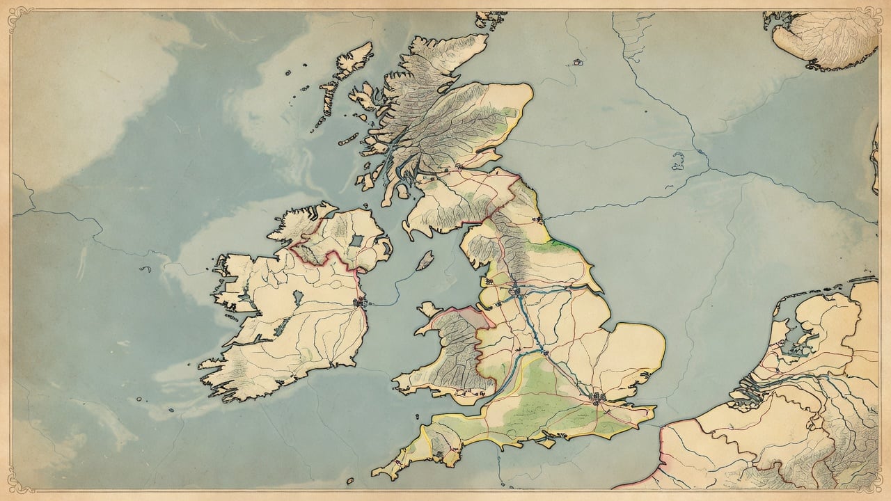
Sixth-Century Britain Blank Strategy Map
Generated from: A wide 16:9 top-down strategic game map of 6th-century Great Britain, centered on the island of Britain and showing surrounding sea space plus nearby surrounding islands such as Anglesey, the Isle of Man, and the Hebrides, but excluding Ireland. Parchment historical map style: warm aged vellum, subtle fibers and stains, hand-inked coastline, delicate relief shading for the Scottish Highlands, Pennines, Welsh mountains, and southwest uplands, muted greens for forests, ochres for lowlands, gray-brown moors, blue-green seas. Show historically grounded but approximate 6th-century kingdom borders as thin hand-drawn colored boundary lines and softly tinted regional areas, without modern political borders. Include major settlements as small heraldic-free map symbols, Roman roads and major travel routes as fine reddish-brown lines, major rivers and estuaries in blue. Keep the geography readable and game-ready with clear open regions for unit placement. NO labels, NO words, NO letters, NO title, NO legend, NO compass text, no modern icons, no fantasy castles, no contemporary roads. Decorative but restrained parchment border, high detail, clean top-down composition, readable at gameplay zoom.
- Type
- Game Art
- Downloads
- 0
- License
- CC0
game-maphistoricalgreat-britainsixth-centuryparchmentstrategy
Creator
Gary Welch
Comments
Sign in to join the conversation.
Sign in to commentLicense
🌍CC0
Use, share, and remix the model freely with no restrictions and no attribution needed.