Made with Grok Imagine · CC0 · 16 Jul 2026
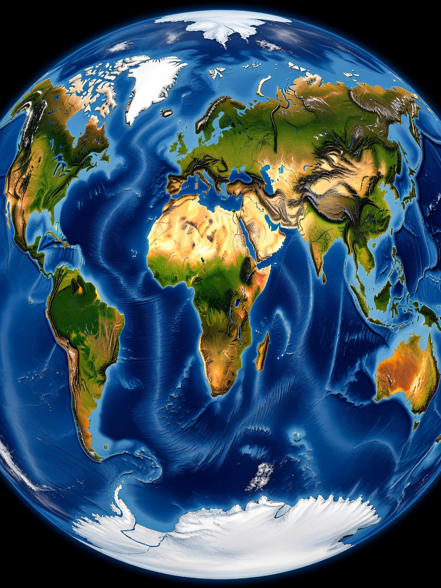
Earth Equirectangular Texture — Warhammer Scale (1 / 2)
Generated from: Equirectangular projection texture map of Earth, 2:1 aspect ratio, designed for wrapping onto a massive 3D campaign-map sphere. Ultra-high detail photorealistic satellite imagery. All continents visible: North America, South America, Europe, Africa, Asia, Australia, Antarctica. Dramatic mountain ranges clearly visible — Rockies, Andes, Alps, Himalayas. Green forests, golden deserts (Sahara, Gobi, Australian outback), white ice caps at both poles, deep blue oceans with subtle bathymetric depth variation. White cloud wisps scattered across the globe. Visible terrain texture at close range — rivers, lakes, ridges, coastlines. Seamless horizontal edges (left and right sides connect perfectly). No country borders, no political labels, no city lights, no text overlays. Natural Earth from space, NASA Blue Marble style but with richer contrast and saturation fit for a fantasy strategy game map. 8K quality, sharp terrain detail.
- Type
- Game Art
- Downloads
- 0
- License
- CC0
Creator
Michael Puckett
Comments
Sign in to join the conversation.
Sign in to commentLicense
🌍CC0
Use, share, and remix the model freely with no restrictions and no attribution needed.