Asset Store
Discover high-quality assets for your next game project, or create your own with AI.
Create AssetDiscover high-quality assets for your next game project, or create your own with AI.
Create Asset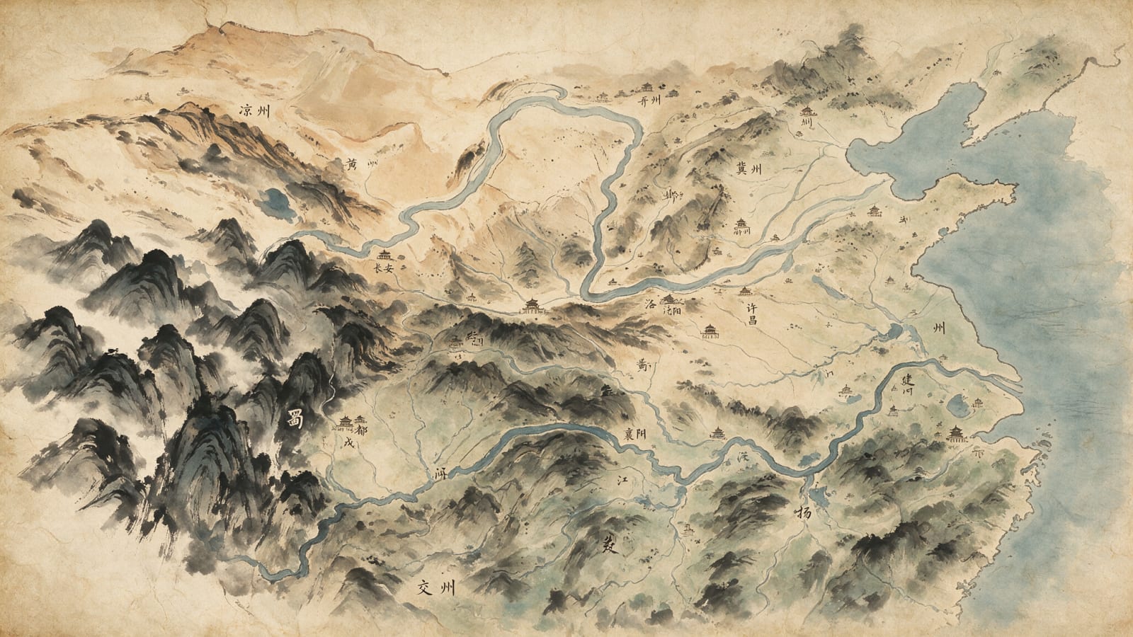
Made with Seedream 5.0 Pro · CC0 · 4 Aug 2026
Generated from: A large ancient Chinese strategy map in traditional ink-wash painting style (中国水墨画 shui-mo hua) on yellowed, aged parchment paper background. The map depicts the Three Kingdoms era China geography in bird's-eye view, entirely hand-drawn with brush-stroke feel and subtle tea-stained edges. GEOGRAPHY (top-down / birds-eye view): - Northwest corner: Loess Plateau and arid Gobi-like highlands in muted tan and ochre wash (凉州 Liangzhou region), with eroded plateau edges rendered in dry-brush strokes - Far West: High jagged mountain ranges in deep ink-black and grey strokes, dense peaks forming a natural barrier around the Sichuan basin (蜀 Shu region), with misty cloud breaks between peaks - Central region: The great Yellow River (黄河) winding from west to east across the middle of the map, painted as a broad sinuous ribbon of pale grey-blue ink wash with calligraphic-flow brushwork, surrounded by flat open plains (中原 Central Plains) in light tan parchment tones - North: Flatter plains extending across 冀州 and 并州 regions, gentle terrain with sparse ink-dot vegetation and light wash - East: A long coastline along the right edge of the map, with the Yellow River emptying into the sea, coastal plains (扬州 Yangzhou, 徐州 Xuzhou) in pale green-grey wash - South: The Yangtze River (长江) flowing west-to-east in the lower portion of the map, broader than the Yellow River, painted in deeper blue-grey ink wash, with hilly terrain (荆州 Jingzhou) in darker ink textures, and lush southern reaches (交州 Jiaozhou) fading toward the bottom STYLE: - Yellowed, aged parchment paper texture as the map surface, with worn edges, subtle tea stains, and slight crease marks - All terrain painted in traditional Chinese ink-brush technique: varying ink density for depth, dry-brush (飞白) for ridges, wet-wash (渲染) for plains and water - Mountains rendered as clusters of overlapping ink-brush peaks with classic Chinese painting stroke patterns - Rivers as flowing curved brush strokes with tributary branches - Small black-ink traditional Chinese characters (汉字) labeling major regions and rivers in delicate calligraphy - Tiny traditional Chinese building icons (small curved-roof pagoda shapes, city wall symbols) marking major cities like 洛阳 (Luoyang), 长安 (Chang'an), 许昌 (Xuchang), 成都 (Chengdu), 建业 (Jianye), 邺城 (Yecheng), 襄阳 (Xiangyang), 汉中 (Hanzhong) - Overall feeling: an ancient strategist's hand-painted map scroll, authentic to the Han/Three Kingdoms era aesthetic Negative: NO modern digital art style, NO realistic 3D terrain, NO satellite-map look, NO bright saturated colors, NO modern UI elements, NO English text, NO clean white background
Creator
user_516125e2
Sign in to join the conversation.
Sign in to comment🌍CC0
Use, share, and remix the model freely with no restrictions and no attribution needed.