Asset Store
Discover high-quality assets for your next game project, or create your own with AI.
Create AssetDiscover high-quality assets for your next game project, or create your own with AI.
Create Asset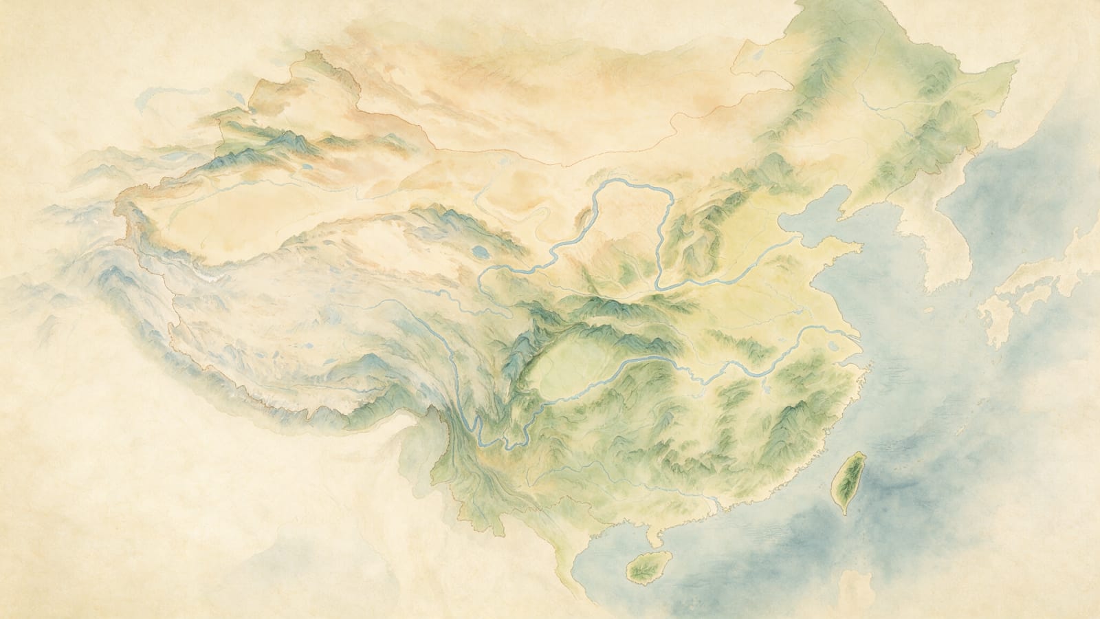
Made with Seedream 5.0 Pro · CC0 · 4 Aug 2026
Generated from: A traditional Chinese ink-wash (水墨 shuimo) painting of the complete Three Kingdoms era map of China, covering ALL territory from Liangzhou in the far northwest to the east coast, from Inner Mongolia steppe in the north to Jiaozhou (northern Vietnam) and Hainan Island in the far south. This is a pure terrain map with NO text labels, NO text characters, NO city markers, NO building icons, NO human figures, NO flags. Purely geography and terrain features only. The map must show all 13 provinces territory: the northwest corridor (Liangzhou, Yongzhou, Bingzhou), the north (Youzhou, Jizhou, Qingzhou, Yanzhou), the central plains (Sizhou with Luoyang area, Yuzhou, Xuzhou), the south (Jingzhou, Yangzhou), the western Sichuan basin (Yizhou surrounded by mountains), the far south (Jiaozhou). Islands: Hainan in the south, Taiwan off the southeast coast. Far north: Inner Mongolia steppe fading into hints of Outer Mongolia. Northeast: subtle hint of Korean peninsula. West: Tibetan plateau hints beyond the mountains. Major geographical features visible: the Yellow River (黄河) flowing west-to-east through the northern half, the Yangtze River (长江) flowing west-to-east through the southern half from Sichuan to the sea. Mountain ranges: Qinling mountains (秦岭 running east-west between Yongzhou and Yizhou), Taihang mountains (太行 north-south between Bingzhou and Jizhou), Dabie mountains (大别 between Yuzhou and Jingzhou), Wuyi mountains (武夷 in Yangzhou). The Sichuan basin surrounded by mountains. The Loess Plateau in Yongzhou/Bingzhou. The North China Plain in Jizhou/Qingzhou/Yanzhou. The Central Plains around Sizhou/Yuzhou. Southern hills and mountains (Nanling). Gobi/steppe in the far north. CRITICAL COLOR REQUIREMENTS - the entire map must use LIGHT, SOFT, READABLE colors: - Mountains and highlands: soft grey-green or light blue-green ink wash, deliberately pale and translucent, NEVER black, NEVER dark, NEVER heavy ink. They must be light enough that dark city markers could be placed on top and remain clearly visible. - Plains and lowlands: pale yellow-green or warm cream parchment tone - Rivers: light to medium blue, visible but delicate and soft - Deserts and plateaus: pale tan or light beige - Ocean/sea around the coastline: subtle pale blue-grey wash - Overall parchment background: warm cream/beige paper tone - The overall palette must feel like a delicate, faded antique silk map with ink-wash terrain, light enough for gameplay markers to be overlaid The style is traditional Chinese ink-wash painting (水墨画) but with the lightness and readability of an elegant parchment strategy game map. Landscape orientation, wider than tall, high detail but soft and gentle. Aspect ratio 16:9, wide landscape format, high resolution suitable for zooming in to see details.
Creator
user_516125e2
Sign in to join the conversation.
Sign in to comment🌍CC0
Use, share, and remix the model freely with no restrictions and no attribution needed.