Asset Store
Discover high-quality assets for your next game project, or create your own with AI.
Create AssetDiscover high-quality assets for your next game project, or create your own with AI.
Create Asset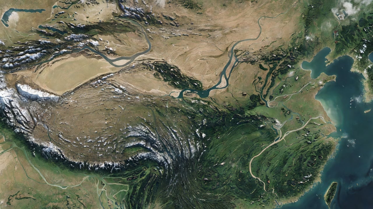
Made with Grok Imagine · CC0 · 18 Jul 2026
Generated from: Top-down photorealistic hand-painted relief map of ancient China, Three Kingdoms era circa 260 CE. Satellite-painted hybrid style, viewed from directly above. Western and southwestern regions: snow-capped jagged rocky mountain ranges with white peaks and grey-brown slopes. Southern region: rugged green forested hills and dense vegetation. Northern and central regions: vast flat tan-green plains and grasslands. Two major winding rivers crossing east to west: Yellow River in the north, Yangtze River in the center-south, both wide and meandering with visible sandy banks. Eastern and southeastern coastline meeting deep blue-green sea water. Subtle white mist and clouds creeping over the map edges. Muted natural palette: earthy greens, tans, browns, slate blue water. NO text, NO labels, NO city markers, NO roads, NO political borders, NO UI elements whatsoever. Pure terrain and geography only. Clean unmarked top-down map.
Creator
Darren Gavi
Sign in to join the conversation.
Sign in to comment🌍CC0
Use, share, and remix the model freely with no restrictions and no attribution needed.