Asset Store
Discover high-quality assets for your next game project, or create your own with AI.
Create AssetDiscover high-quality assets for your next game project, or create your own with AI.
Create Asset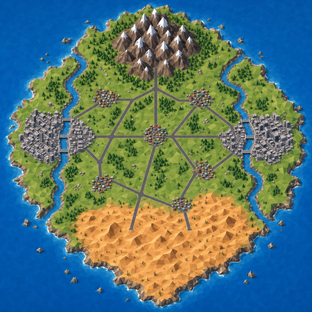
Made with GPT Image 2 · CC0 · 12 Jul 2026
Generated from: Top-down bird's-eye orthographic view of a low-poly stylized game map island in blue ocean. The island is roughly diamond-shaped with jagged natural coastline, approximately 32 square kilometers. TWO capital city zones on opposite coasts (left/west coast and right/east coast), each with dense small building blocks in gray/white tones. TWO broad navigable rivers cutting through each capital city, entering from inland and emptying into the ocean, with visible straight bridge crossing corridors over each river. ONE distinct mountain zone in the northern uplands: clustered peaked triangular shapes in brown/gray with snow caps. ONE hot desert zone in the southern lowlands: flat sandy orange/tan area with dunes and arid texture. FIVE small town clusters scattered across the interior, each a tight grouping of small colored building blocks connected by BROAD flat straight road corridors (dark gray strips) that crisscross the island linking all capitals, towns, and zones. Clear readable color separation: blue water, green grassland interior, gray roads, brown mountains, orange desert, gray/white city blocks. Clean low-poly flat-shaded aesthetic, pure top-down orthographic view, no perspective distortion, no text labels, no UI elements. The island should fill most of the frame with water visible around edges.
Creator
Super Mac
Sign in to join the conversation.
Sign in to comment🌍CC0
Use, share, and remix the model freely with no restrictions and no attribution needed.