Asset Store
Discover high-quality assets for your next game project, or create your own with AI.
Create AssetDiscover high-quality assets for your next game project, or create your own with AI.
Create Asset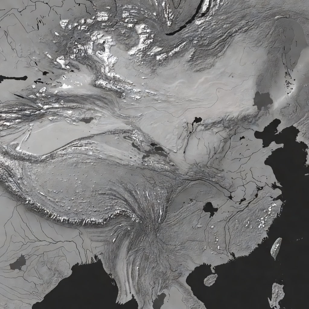
Made with Grok Imagine · CC0 · 20 Sept 2026
Generated from: High-resolution grayscale heightmap reference for a single enormous continuous supercontinent in an East-Asian-inspired wuxia fantasy world. Strict orthographic top-down elevation data only: bright white and light gray for towering mountain chains and high plateaus, mid-gray for hills and uplands, dark gray for plains and valleys, near-black for coastlines, lakes, and ocean. One connected Pangea-scale landmass with a broad northern alpine zone, central basins, multiple branching river valleys implied by low channels, eastern coastal mountains, and humid southern lowlands. Large varied relief with believable drainage patterns and broad open areas reserved for future settlements. No labels, no roads, no icons, no compass, no parchment, no color, no shadows, no 3D render, no text, no separate islands except tiny coastal islets. Designed as a terrain heightmap reference for later import into a Godot terrain system.
Creator
apolo cr
Sign in to join the conversation.
Sign in to comment🌍CC0
Use, share, and remix the model freely with no restrictions and no attribution needed.