Asset Store
Discover high-quality assets for your next game project, or create your own with AI.
Create AssetDiscover high-quality assets for your next game project, or create your own with AI.
Create Asset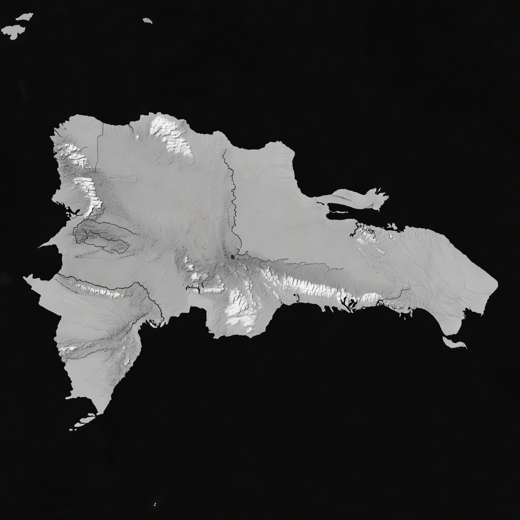
Made with Grok Imagine · CC0 · 20 Jun 2026
Generated from: Top-down grayscale heightmap of the country of Haiti and the island of Hispaniola. Pure black ocean water surrounding the island. White represents mountain peaks and high elevation. The island shape must show Haiti occupying the western third with two distinct peninsulas: a northern peninsula and a longer southern peninsula (Tiburon Peninsula). Between them is the Gulf of Gonave with Gonave Island visible. The Massif du Nord mountain range runs along the northern coast. The Massif de la Selle range runs along the southern peninsula. A central valley (Artibonite plain) separates the ranges. The coastline is detailed and jagged, matching real Caribbean geography. Light gray for coastal plains, medium gray for hills, bright white for mountain ridges. No text, no labels, no borders, no grid lines, no map decorations. Pure topographic height data only. 1024x1024 resolution.
Creator
bo0om bebo0omin
Sign in to join the conversation.
Sign in to comment🌍CC0
Use, share, and remix the model freely with no restrictions and no attribution needed.