Asset Store
Discover high-quality assets for your next game project, or create your own with AI.
Create AssetDiscover high-quality assets for your next game project, or create your own with AI.
Create Asset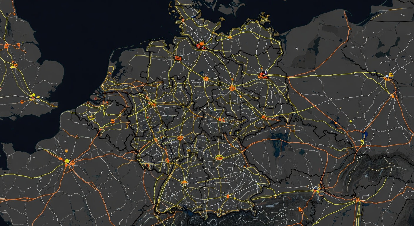
Made with Grok Imagine · CC0 · 29 May 2026
Generated from: Top-down satellite-style map of Germany showing the entire country with clear, visible road network: Autobahns as thick yellow lines, major highways as orange lines, and smaller roads as white lines. Dark gray or black background for landmass. Neighboring countries in slightly darker shade. The map should clearly show the dense road grid connecting all major cities. High contrast, detailed cartographic style. Flat 2D map viewed from directly above, perfect as a game map texture.
Creator
user_cad0b1f6
Sign in to join the conversation.
Sign in to comment🌍CC0
Use, share, and remix the model freely with no restrictions and no attribution needed.