Asset Store
Discover high-quality assets for your next game project, or create your own with AI.
Create AssetDiscover high-quality assets for your next game project, or create your own with AI.
Create Asset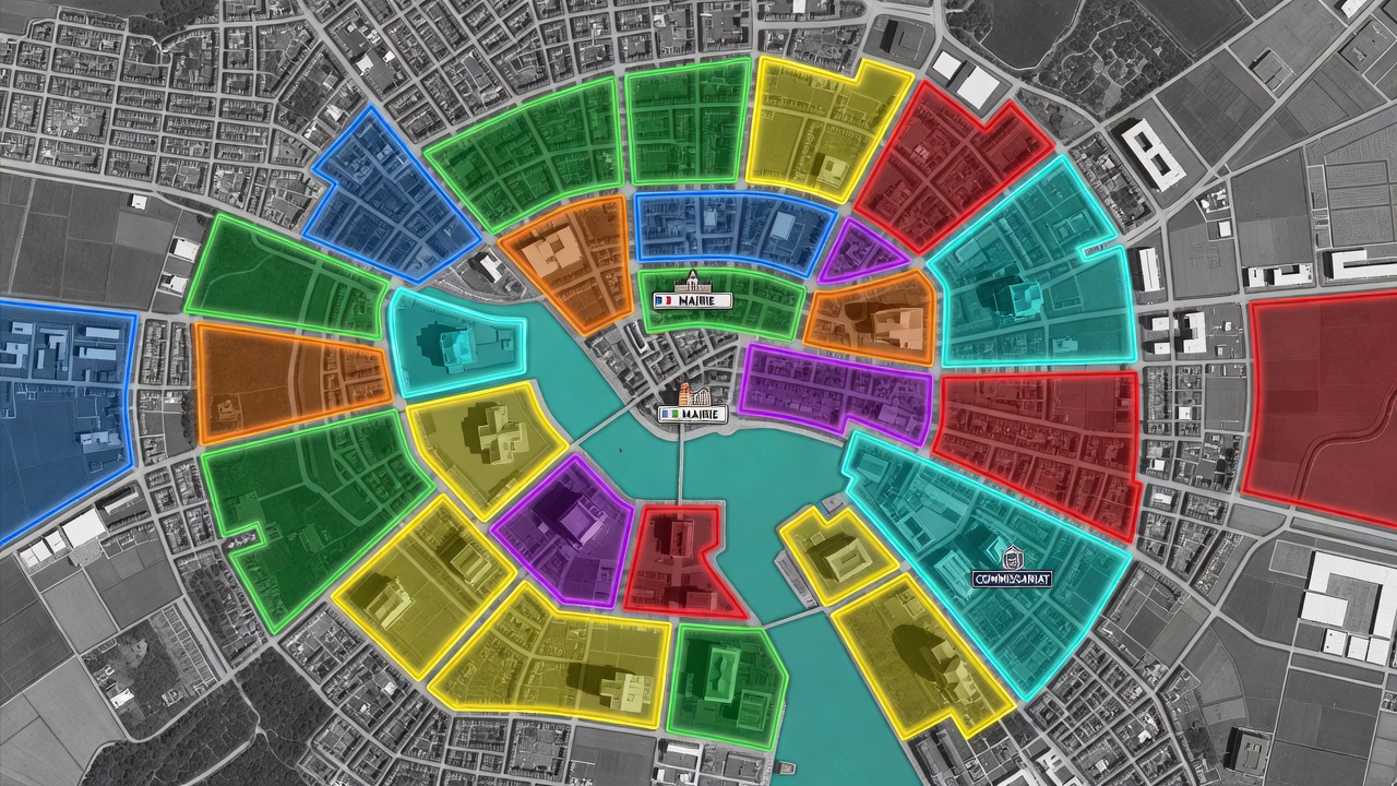
Made with Grok Imagine · CC0 · 6 Jul 2026
Generated from: Top-down satellite-style strategic map of a coastal city for a 2-player territory control game. The map has exactly 20 irregular, non-symmetrical polygonal zones covering approximately 90% of the landmass. Each zone has a thick glowing colored border and a semi-transparent colored overlay (various colors: green, blue, yellow, orange, purple, red, teal). The base is a grayscale satellite texture showing urban grids, roads, city blocks, and buildings. Each zone contains at least 2-3 visible buildings on land. A turquoise water body runs through parts of the map with thin bridge connections linking landmasses. Two special buildings are marked with distinct UI icons: a "MAIRIE" badge (Town Hall) and a "COMMISSARIAT" badge (Police Station), placed in different zones. Two zones are highlighted as player starting territories: one in a blue-tinted zone on the far left of the map, one in a red-tinted zone on the far right, positioned as far apart as possible for balanced gameplay. The zones have organic, jagged borders that follow natural terrain features like roads and water edges. No perfectly square zones. The overall composition feels like a tactical board game overlaid on real satellite imagery. High saturation territory colors. Clean UI-style zone borders.
Creator
user_f87579b0
Sign in to join the conversation.
Sign in to comment🌍CC0
Use, share, and remix the model freely with no restrictions and no attribution needed.