Asset Store
Discover high-quality assets for your next game project, or create your own with AI.
Create AssetDiscover high-quality assets for your next game project, or create your own with AI.
Create Asset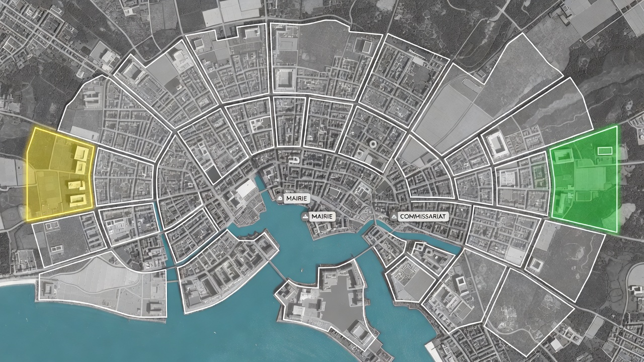
Made with Grok Imagine · CC0 · 6 Jul 2026
Generated from: Top-down satellite-style strategic map of a coastal city for a 2-player territory control game. The map has exactly 20 irregular, non-symmetrical polygonal zones outlined with thin white borders. The base is a grayscale satellite texture showing urban grids, roads, city blocks, and buildings. A turquoise water body runs through parts of the map with thin bridge connections linking landmasses. Each zone contains at least 2-3 visible buildings on land. The zones have organic, jagged borders that follow natural terrain features. Only TWO zones are colored: ONE zone on the far left side tinted in semi-transparent YELLOW with a glowing yellow border (Player 1 starting territory), and ONE zone on the far right side tinted in semi-transparent GREEN with a glowing green border (Player 2 starting territory). These two colored zones are positioned as far apart as possible for balanced gameplay. ALL OTHER 18 zones are completely neutral - no color overlay, just the thin white outline border showing their boundaries, with the grayscale satellite base visible underneath. Two special buildings are marked with small UI badge icons: a "MAIRIE" badge (Town Hall) on one neutral zone, and a "COMMISSARIAT" badge (Police Station) on a different neutral zone. The overall composition feels like a tactical board game overlaid on real satellite imagery. Clean, readable, minimal color scheme - only yellow and green for the two player territories, everything else is grayscale neutral.
Creator
user_f87579b0
Sign in to join the conversation.
Sign in to comment🌍CC0
Use, share, and remix the model freely with no restrictions and no attribution needed.