Made with Grok Imagine · CC0 · 27 Jun 2026
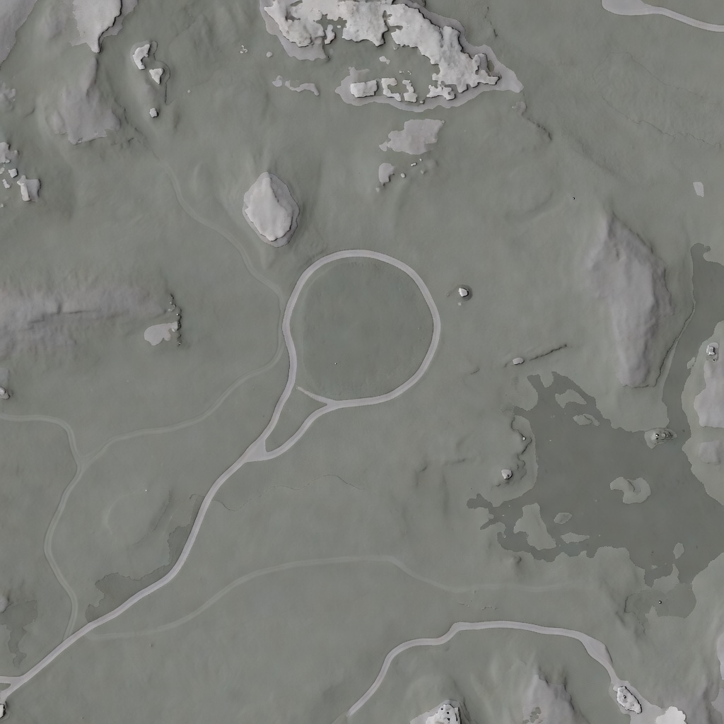
Northern Forest Terrain Height Map
Generated from: Top-down grayscale height map of a small northern forest terrain region (about 60x60 meters). The image should be a smooth height-field where white = higher ground, black = lower ground. Features: a gently uneven natural landscape with subtle slopes, shallow depressions, and raised areas. Include: one central flat-ish clearing area (medium gray, roughly circular, about 15m across), a winding natural path leading from the clearing toward the lower-left edge (slightly lighter gray), one lower wetter depression area on the right side (darker gray), one slightly rockier/higher area near the top (lighter gray patches). The terrain should feel like a realistic forest floor — no sharp artificial edges, no flat planes, no grid patterns. Smooth natural contours only. The edges should fade to medium gray. Minimal contrast, procedural-looking but organic. No text, no labels, no watermarks, no UI elements.
- Type
- Game Art
- Downloads
- 0
- License
- CC0
Creator
Kübra Çankaya
Comments
Sign in to join the conversation.
Sign in to commentLicense
🌍CC0
Use, share, and remix the model freely with no restrictions and no attribution needed.