Made with GPT Image 2 · CC0 · 16 Jul 2026
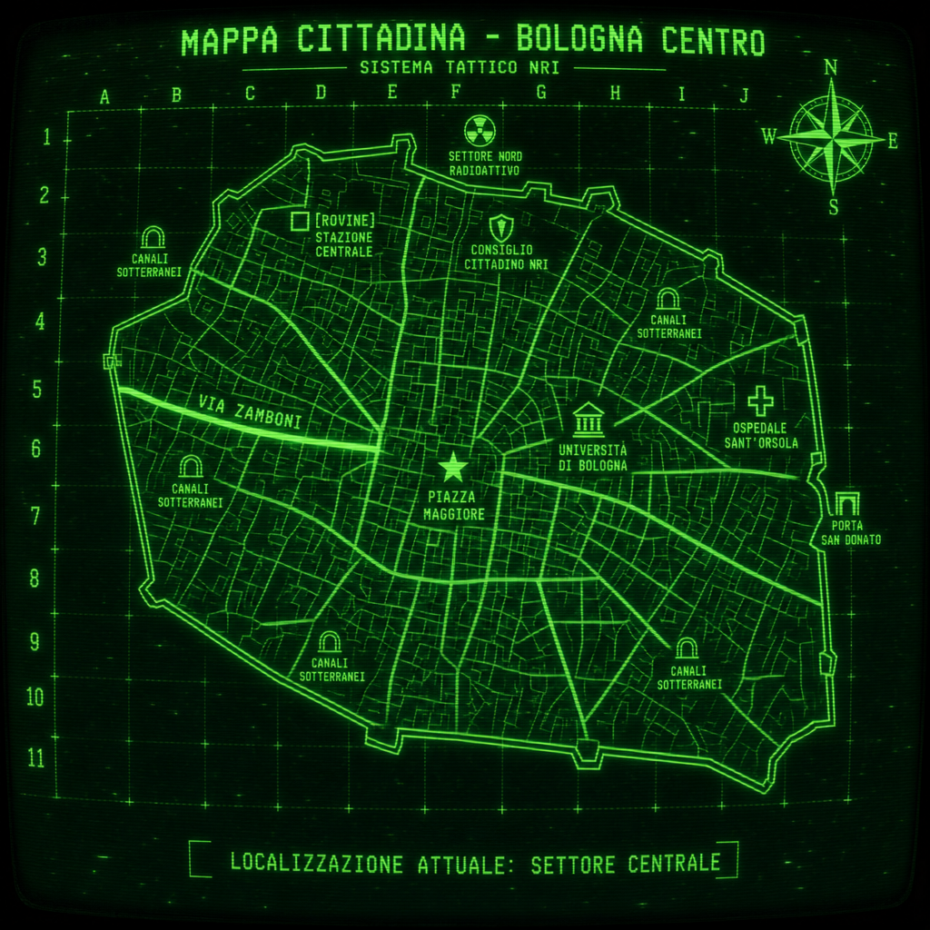
Bologna CRT Tactical Map - Pip-Boy Style
Generated from: Tactical CRT monitor displaying a detailed city map of Bologna, Italy in green phosphor monochrome. Black background with bright green (#00FF66) vector lines only — absolutely NO other colors, strictly monochrome green on black. The map shows: a large irregular polygon representing Bologna's medieval city walls forming the perimeter. Inside, a dense street grid with major arteries radiating from the center. Via Zamboni prominently highlighted as a thick green line running east-west through the center-left. Multiple labeled POIs marked with distinct geometric symbols — a star at PIAZZA MAGGIORE in the center, a building icon at UNIVERSITA DI BOLOGNA to the east, a shield icon at CONSIGLIO CITTADINO NRI to the north, a cross icon at OSPEDALE SANT'ORSOLA to the east, a hollow square at STAZIONE CENTRALE to the north marked with [ROVINE], tunnel icons scattered for CANALI SOTTERRANEI, a gate icon at PORTA SAN DONATO on the east wall, a radiation trefoil hazard symbol at SETTORE NORD RADIOATTIVO to the north. Top of screen: title text "MAPPA CITTADINA - BOLOGNA CENTRO" with subtitle "SISTEMA TATTICO NRI" below it in smaller text. Top right corner: a detailed compass rose. Bottom: small text "LOCALIZZAZIONE ATTUALE: SETTORE CENTRALE". Military grid coordinates (letters along top, numbers along left side). All Italian labels. Strong CRT display effects: visible horizontal scanlines across the entire image, subtle vignette darkening at edges simulating screen curvature, occasional static noise and dead pixels scattered across the display, slight phosphor ghosting and screen burn on repeated UI elements, the glow and bloom characteristic of an old green phosphor monitor. Worn and gritty post-apocalyptic terminal feel.
- Type
- Game Art
- Downloads
- 0
- License
- CC0
Creator
Danilo Caserta
Comments
Sign in to join the conversation.
Sign in to commentLicense
🌍CC0
Use, share, and remix the model freely with no restrictions and no attribution needed.